Description
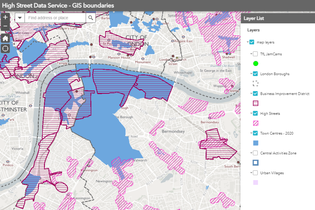
Boundaries of High Streets as developed by the Regeneration team at the Greater London Authority. NOTE: these boundaries will be used when sharing data about High Street spend and footfall. They reflect the wider uses of High Streets including community, public and cultural, in addition to concentrations of retail units. GIS files also available to download here.
Resources
| Name | Format | Description | Link |
|---|---|---|---|
| 0 | https://data.london.gov.uk/download/gla-high-street-boundaries-map/ca56e045-c6c0-4171-8e88-5bf5dbf06a89/index.html%253Fid%253D247f45d7e15541ed91281c43427af472 | ||
| 0 | https://gis2.london.gov.uk/portal/apps/webappviewer/index.html?id=247f45d7e15541ed91281c43427af472 |
Tags
- highstreetdata
- busyness